| GNSS Signal |
|---|
| Channel | 1760 |
|---|
| BDS | B1I,B2I,B3I,B1C,B2a,B2b* |
|---|
| GPS | L1 C/A,L1C*,L2P(Y),L2C,L5 |
|---|
| GLONASS | L1,L2,L3* |
|---|
| GALILEO | E1,E5a,E5b,E6* |
|---|
| QZSS | L1C/A, L1C, L2C, L5, L6* |
|---|
| SBAS | L1, L5* |
|---|
| NavIC(IRNSS)* | L5 |
|---|
| L-band | B2b PPP (Only for the Asian-Pacific Region) & HAS* |
|---|
| Data Format |
|---|
| Format | CMR, CMR+, RTCM2.X, RTCM3.X |
|---|
| Output | NMEA-0183, RINEX, TXT |
|---|
| Data Updating Rate | Up to 20Hz |
|---|
| Time to Recapture | <1s |
|---|
| Cold Start | <40s |
|---|
| Positioning Performance |
|---|
| Single Point Positioning (RMS) | Horizontal: 1.5m | Vertical: 3.0m |
|---|
| DGPS (RMS) | Horizontal: 0.4m | Vertical: 0.8m |
|---|
| Real-Time Kinematic (RMS) | Horizontal: ±(8mm+1×1ppm) | Vertical: ±(15mm+1×1ppm) |
|---|
| Speed Accuracy (RMS) | 0.03m/s |
|---|
| Static Accuracy (RMS) | Horizontal: ± (2.5mm+0.5ppm) | Vertical: ± (5mm+0.5ppm) |
|---|
| Time Accuracy (RMS) | 20ns |
|---|
| Speed Accuracy | ≥0.03m/s |
|---|
| Tilt Compensation Accuracy | ≤2cm(Tilt Angle≤60°, Up to 120°) |
|---|
| IMU Update Frequency | 200Hz |
|---|
| Laser Accuracy (RMS) | Horizontal: ±(8mm+3mm/m) | Vertical: ±(15mm+3mm/m) |
|---|
| Laser Range | Supports 120-meter laser range with high-brightness laser technology |
|---|
| Communication |
|---|
| Bluetooth | SPP3.0+BLE5.0 @ Power=10mW |
|---|
| WiFi | 802.11 a/b/g/n/ac@ Power max (EIRP)=17dBm |
|---|
| WebUI | View status, update firmware, configure operating modes, download data, etc. |
|---|
| Cellular |
LTE FDD: B1/2/3/4/5/7/8/12/13/18/19/20/25/26/28
LTE TDD: B38/39/40/41
|
|---|
| Storage | 32GB |
|---|
| Internal Radio |
TX & RX, Transmitting Power: 2W(33±1dBm) 1W(30±1dBm)
Baud rate: 9600, 19200
Frequency: 410~470MHz, Channel Spacing: 12.5/25kHz
Protocol: SOUTH19200, SOUTH9600, Trimtalk9600, TRANSEOT9600, HITARGET9600, HITARGET19200, SATEL, MeridianLink optional
Data Only, Antenna Impedance 50Ohm
|
|---|
| Battery |
|---|
| Specifications | 7.2V,6600mAh Lithium-ion Rechargeable Battery |
|---|
| Operating Times | Laser RTK Rover: Up to 22 hours | Static: Up to 40 hours |
|---|
| Charging | Support USB PD 12V/1.5A (Supports Quick Charging Adapter) |
|---|
| Environment |
|---|
| Operating Temperature | -40°C~+85°C |
|---|
| Storage Temperature | -55°C~+85°C |
|---|
| Anti-seismic | 2m Pole Drop, 1.2m free drop onto Concrete |
|---|
| Dust & Waterproof | IP68 |
|---|
| Data Formats |
|---|
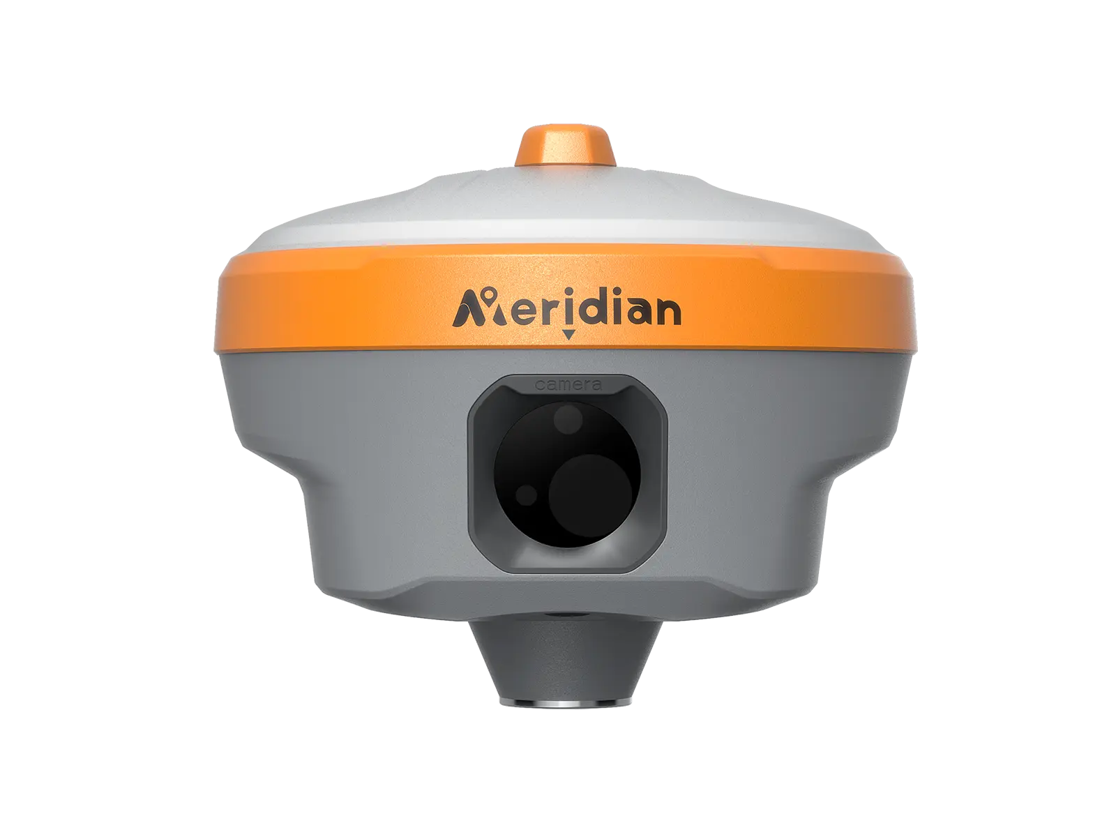
| AR Camera | 5MP Large viewing angle, supports live view stakeout |
|---|
| Laser Assisted Camera | 5MP Supports laser aimingdisplay |
|---|
| Button | 2 |
|---|
| I/O Interface | 1× USB type-C port; 1 × TNC antenna port; 1× SIM card slot; 1 × 5 pin LEMO port |
|---|
| Dimensions | 133mm×133mm×84.5mm |
|---|
| Weight | ≤749g |
|---|


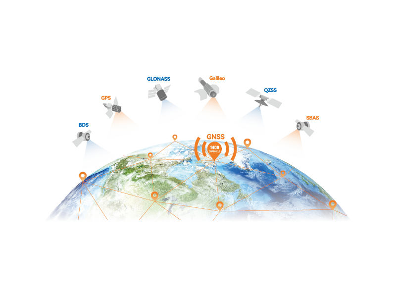
 GNSS Systems
 GNSS Systems
 GNSS Systems
 GNSS Systems